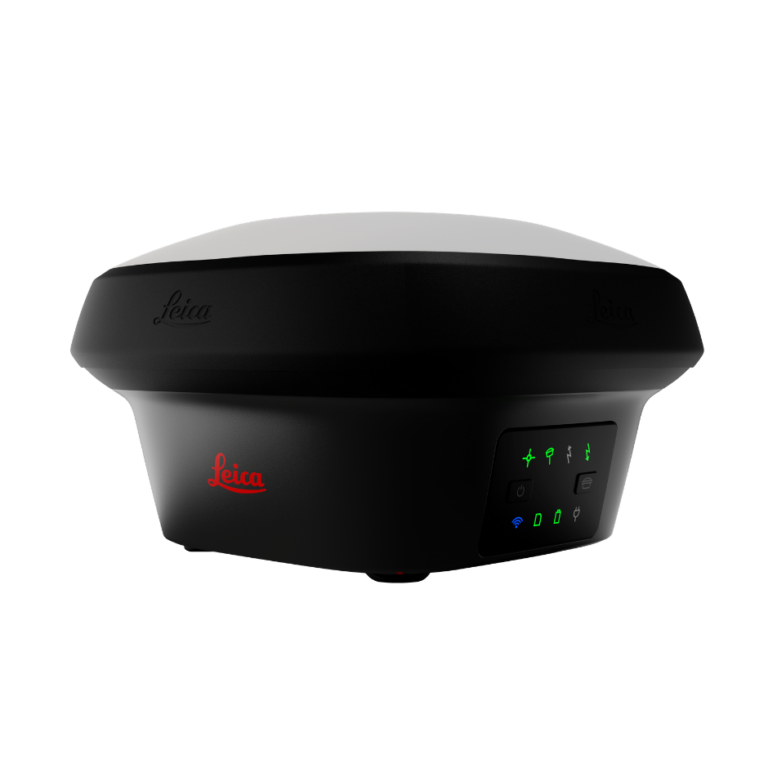
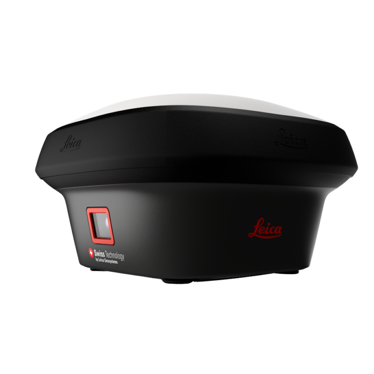
Packed with all the features found in the GS18 T, the Leica GS18 I antenna features innovative imaging positioning technology for versatile surveys. With the GNSS sensor, IMU and camera you will have access to technology designed to allow professionals to quickly and accurately measure points that could not have been measured before with a GNSS antenna. It is now possible to quickly survey the site in images, then measure points from your survey, in the field or in the office. Time spent in the field is reduced and returns to the field are also much less frequent.