3D
reality capture

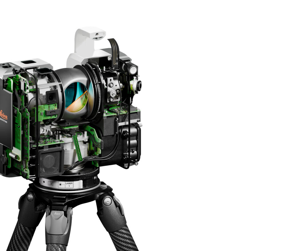
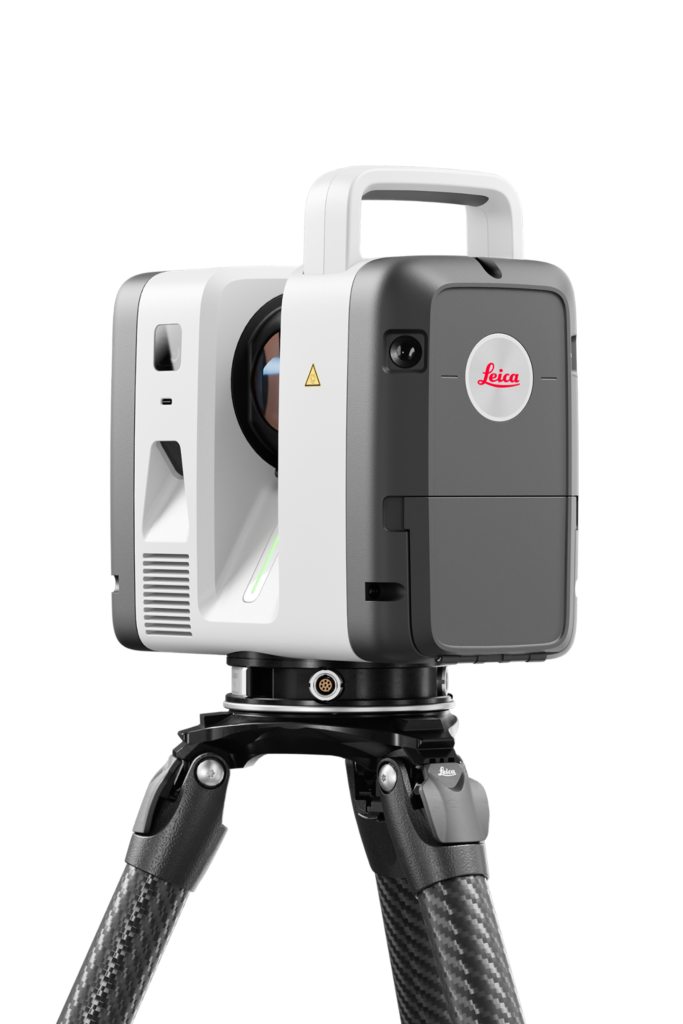
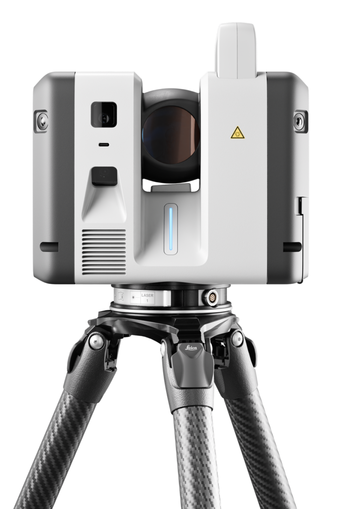
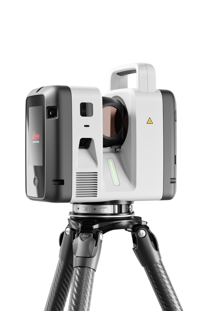
The Leica RTC Series

A new dimension in reality capture.

One platform, three performance levels—designed to match the way you work.

Ultra-fast scanning, survey-grade accuracy, and connected real-time workflows.
The RTC Series combines the speed and agility of the RTC360 with the ruggedness and precision of the ScanStation P Series—so you can capture data faster, collaborate instantly, and deliver with confidence.


Efficient,
Productive Workflows

The office supporting the field—and the field supporting the office.

Remote Expert Collaboration

When precision leaves no room for guesswork.

100% Field Validation

Verify scan completeness before you even leave the jobsite.

Faster, More Powerful Scanning

Ultra-fast, high-density laser scanning built for today’s most demanding jobsites. Capture up to 2 million points per second and generate complete point clouds in just minutes.

Real-Time Field-to-Office Collaboration

With LiveLink in Leica Cyclone FIELD 360, your data flows seamlessly from the field to Hexagon GeoCloud in real time. Your office team can begin processing while field crews are still scanning.

Faster Data Visualization

VIS (Visual Inertial System) technology automatically registers each scan in the field, transforming captured reality into ready-to-use datasets—scan after scan.

Built to Fit the Way You Work

The Leica RTC Series integrates seamlessly with the software ecosystem your teams already use, so you can enhance your workflows without changing the way you work.

Why choose the RTC series ?

Because the value of a scan isn’t the scan itself—it’s everything that comes after.

The Leica RTC Series eliminates waiting, repeat site visits, and registration surprises, helping you move from data capture to deliverables faster and with greater confidence.

Livelink

Stream your data as you capture it. Field crews, the point cloud, and the office stay connected, working on the same project simultaneously.

Start production

Begin generating deliverables while scanning is still underway. The hours you save are hours you get back.

One platform, three performance levels

Choose the range, speed, and survey capabilities that best fit your projects.

As your needs grow, you can move up to the next performance level—without replacing your system.

The Numbers Speak for Themselves

Up to 3.5× faster and more than 35% more accurate than the closest competing solution.

A scalable platform—upgrade your performance without changing systems.

The next generation of the RTC360/LT and ScanStation P30, P40, and P50.

Feature RTC300 RTC500 RTC700
Max. range 85 m 130 m 270 m
Speed 1 M pts/s 2 M pts/s 2 M pts/s
Scan + HDR Photo ≈ 2 min 30 s ≈ 1 min 40 s ≈ 1 min 40 s
Resolution 3, 6, 12, 25 mm @ 10 m
Targeted areas: 0.8 mm @ 10 m
3, 6, 12, 25 mm @ 10 m 3, 6, 12, 25 mm @ 10 m
3D Accuracy 1.5 mm to 10 m* 1.5 / 3.8 mm (10 / 50 m) 1.5 / 3.8 mm (10 / 50 m)
Operating Temperature -20°C to +50°C -20°C to +50°C -20°C to +50°C
Auto-Calibration Automatic calibration during normal operation — no user intervention or target required Same Same
Cloud Collaboration (Livelink) Real-time connectivity between the field and the office. Enables remote project collaboration and multi-device coordination. Same Same
Typical Applications Construction, Scan-to-BIM, renovation Surveying, construction, public safety Infrastructure, industrial plants, complex surveying

Ready for the Next Generation?

The ABTECH team is here to help you choose the right Leica RTC model and get your reality capture workflows up and running with confidence.

Why ABTECH ?

“At ABTECH, we go far beyond providing technology solutions for the surveying, engineering, and construction industries: we partner with businesses in their transformation toward smarter, more connected, and higher-performing operations.”

As a distributor of Leica Geosystems solutions, we support you in effectively integrating machine control into your operations with local technical support, tailored training, and field-focused guidance.