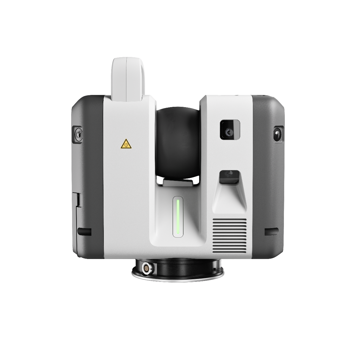
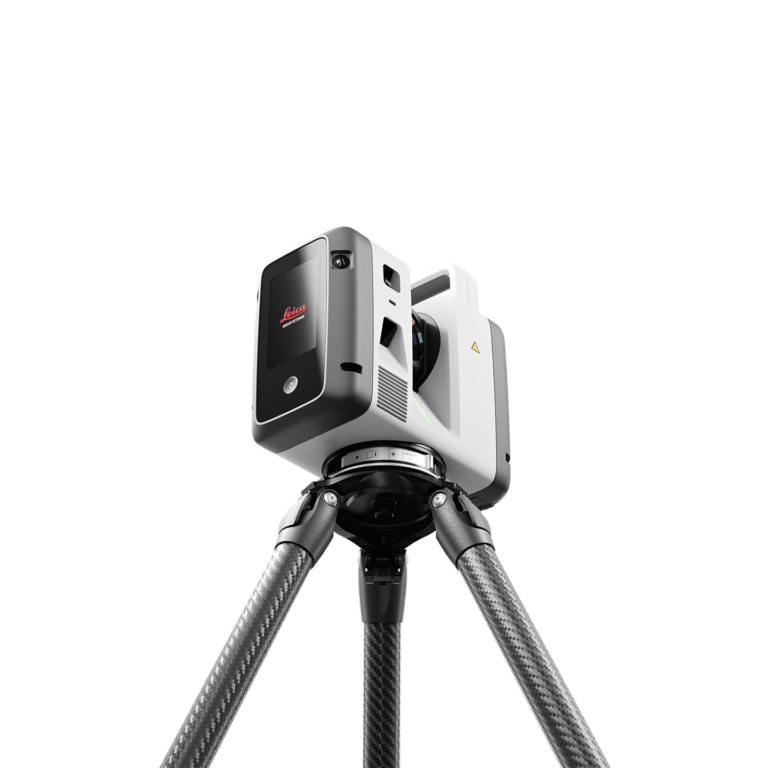
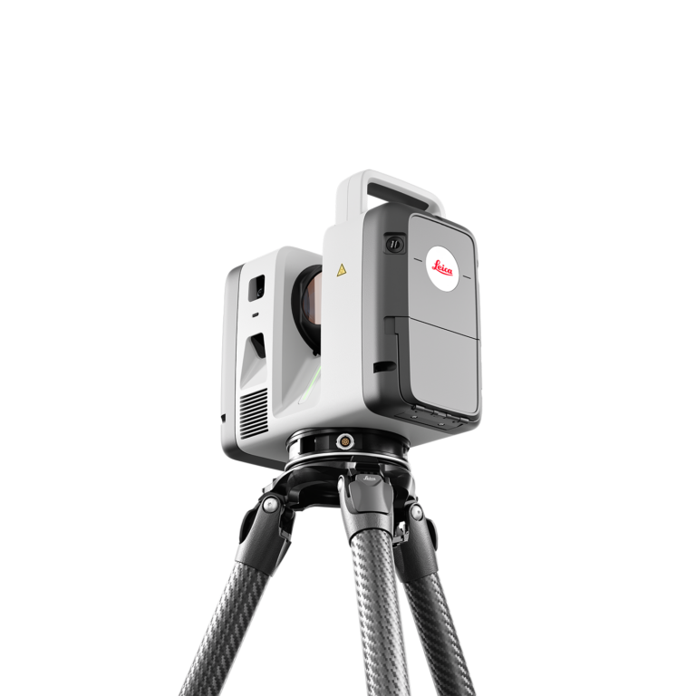
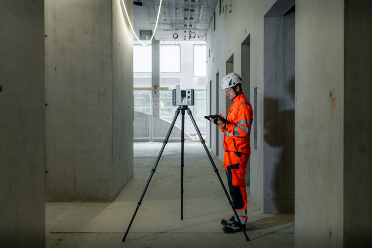
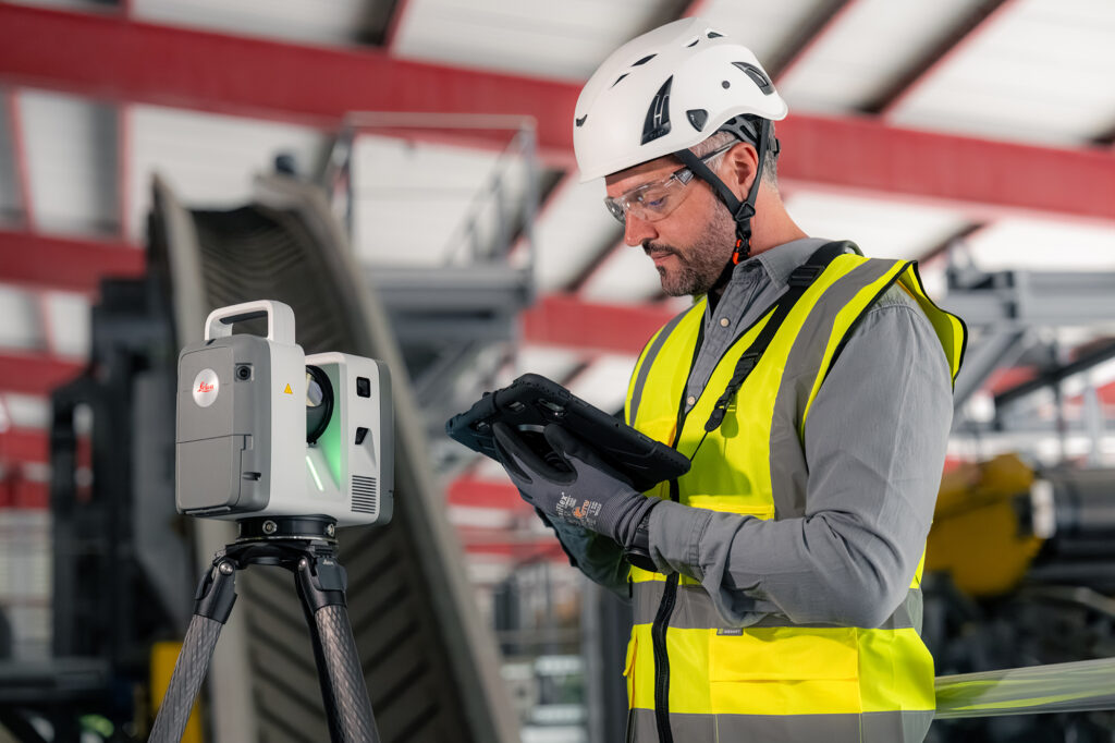
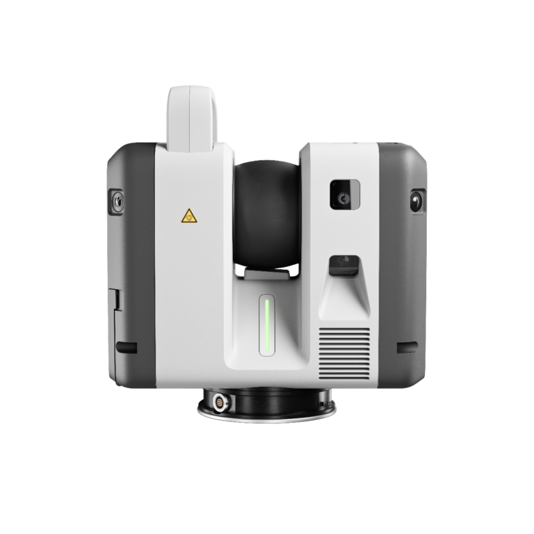
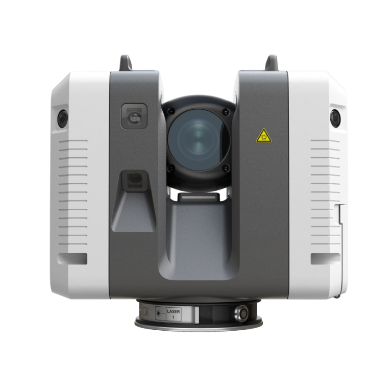
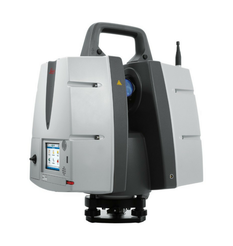
Maximum capability for your most demanding projects.
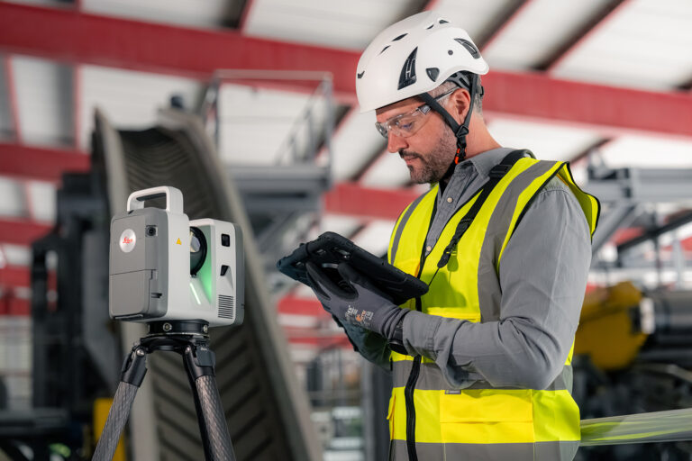
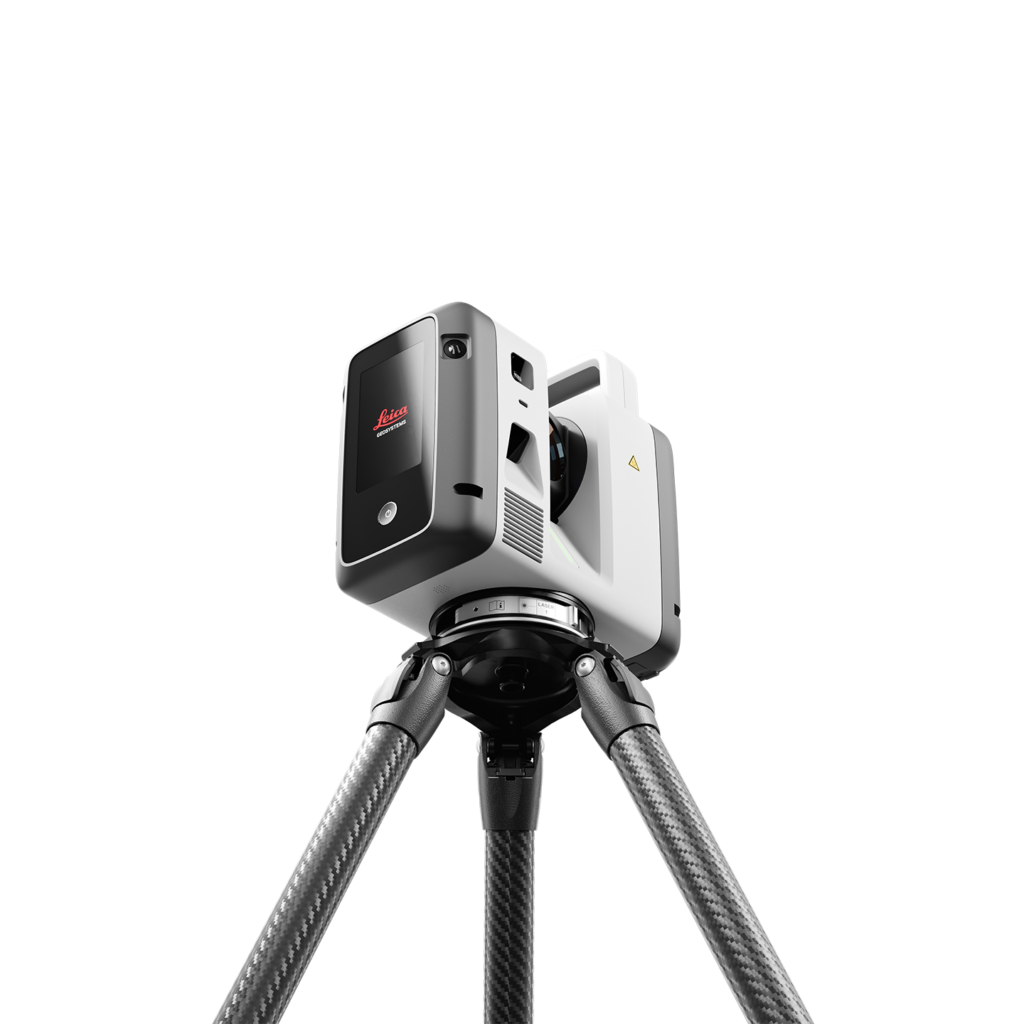
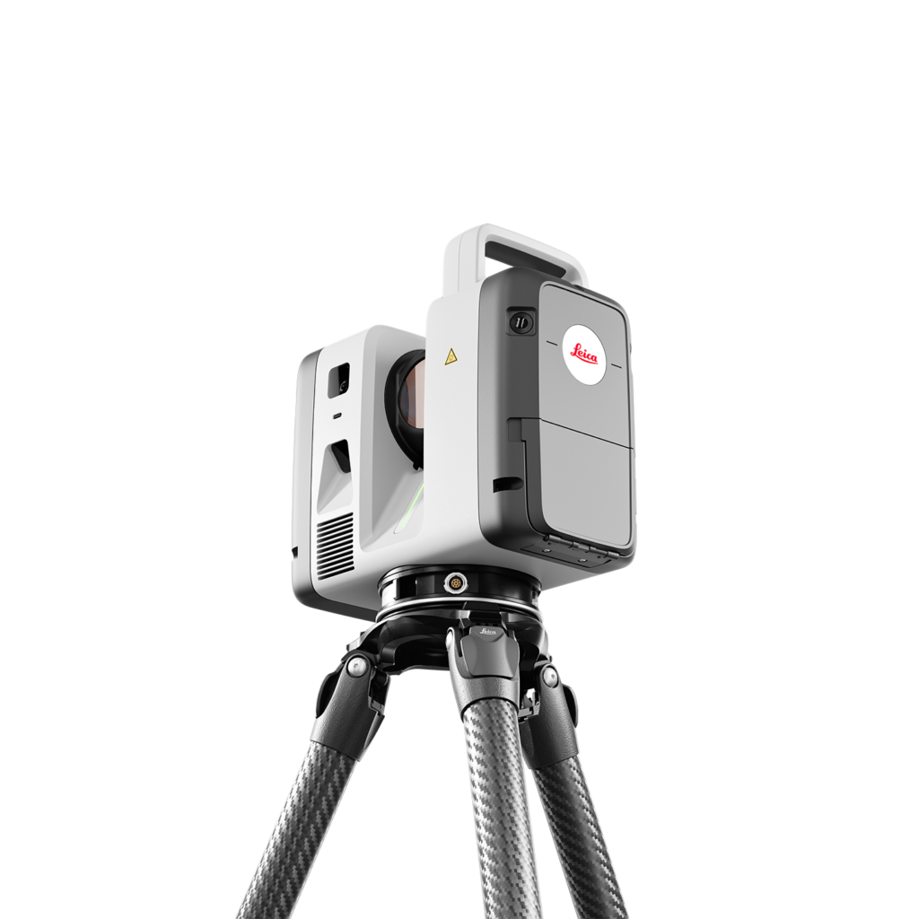
Maximum range, precision, and scanning speed combined with large-scale, multi-scanner survey workflows. The RTC700 is the benchmark for large infrastructure projects, industrial facilities, and complex surveying applications.
Caractéristiques
Features
Range : Up to 270 m
Measurement Speed : Up to 2 000 000 pts/s (2 MHz)
Full Dome Scan + HDR : ≈ 1 min 40 s (6 mm à 10 m)
Image Resolution : Ranging from 1,6 mm à 10 m
Area Scanning : 0,8 mm à 10 m
3D Accuracy : 1.5 mm at 10 m · 3.8 mm at 50 m
Range Noise : 0.2 mm at 10 m · 0.4 mm at 50 m
Distance Accuracy : 1,2 mm + 10 ppm
Angular Accuracy : 10"
Field of View : 360° × 300°
Minimum Range : 0,5 m
Real-Time Registration : VIS (Visual Inertial System)
Multi-Scanner Workflows : Yes
Protection Rating : IP55
Weight : 5.5 kg (without batteries)
More information
Range That Changes the Game Capture up to 270 m, reducing the number of setups while covering more ground with every scan.
Detail at the Highest Level Image resolution from 1.6 mm at 10 m and 0.8 mm area scanning deliver the precision required for engineering, inspection, and complex documentation.
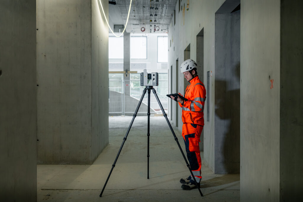
Multi-Scanner Workflows at Scale Multiple scanners can contribute to the same project simultaneously through LiveLink, keeping field and office teams connected in real time.
The RTC700 delivers the full capability of the Leica RTC platform. Because it shares the same platform as the RTC300 and RTC500, your teams can work within one connected ecosystem—regardless of the performance level they choose.