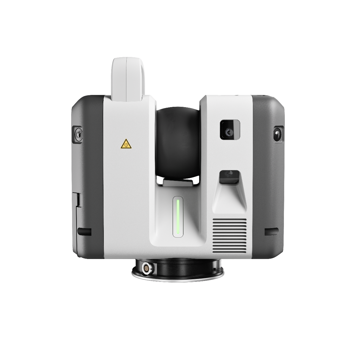
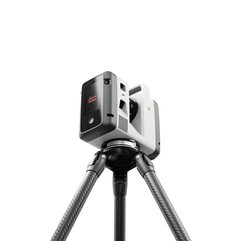
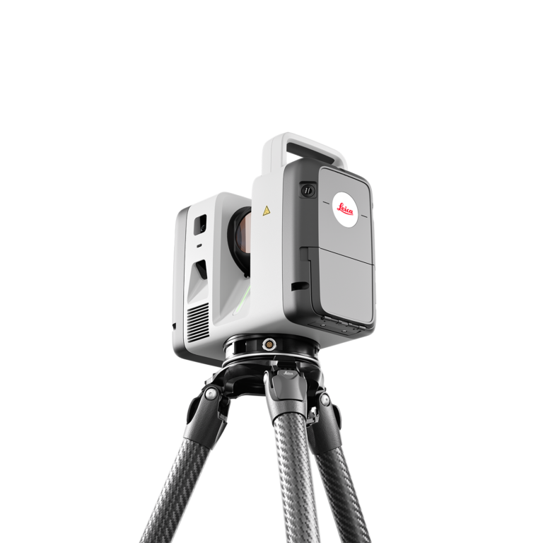
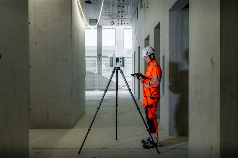
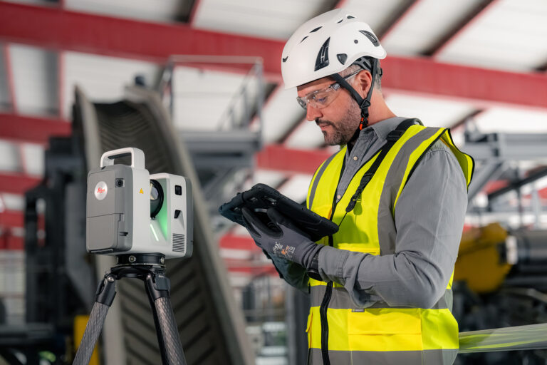
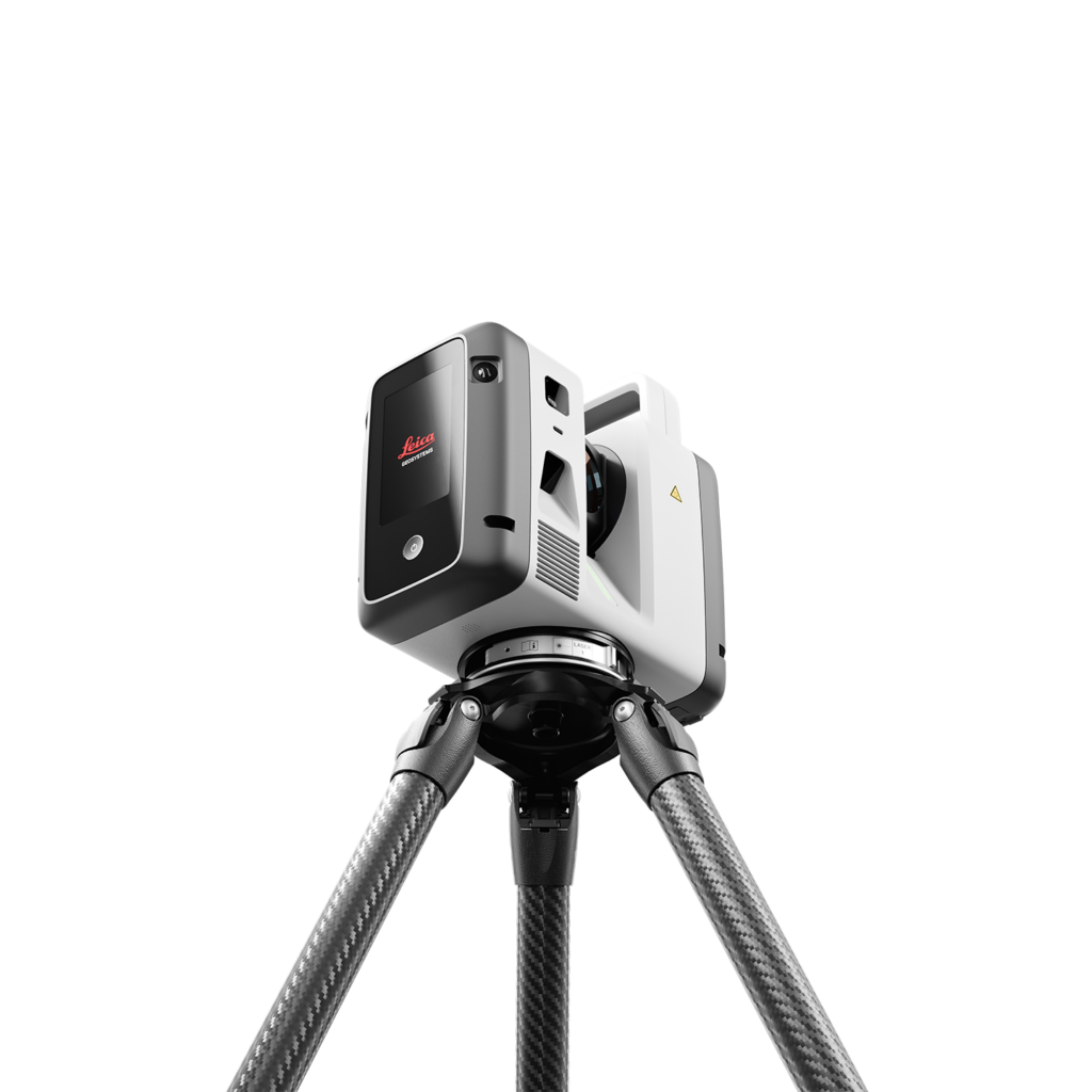
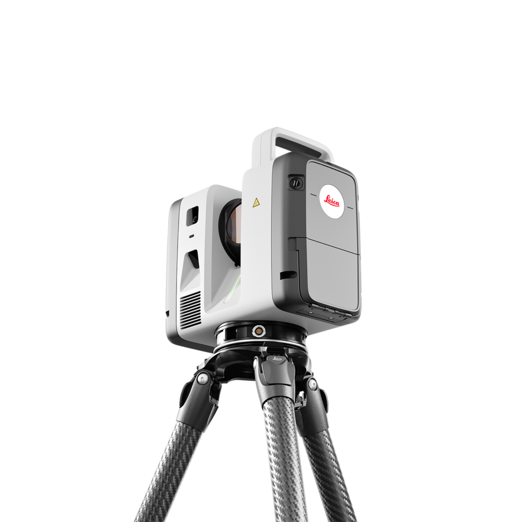
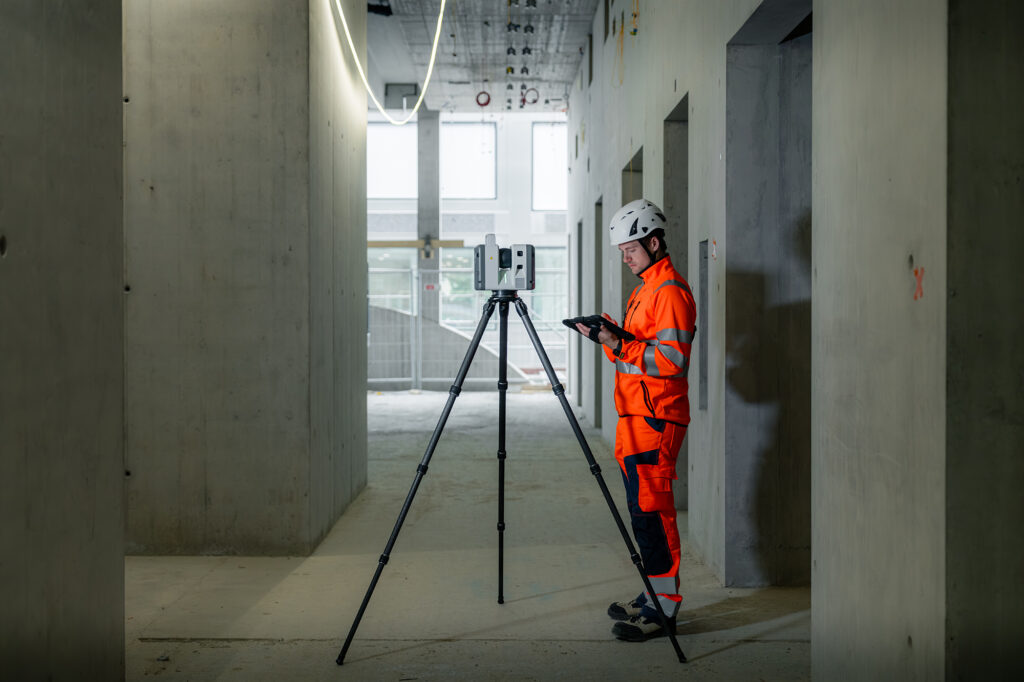
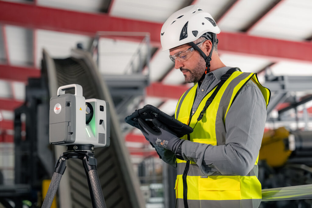
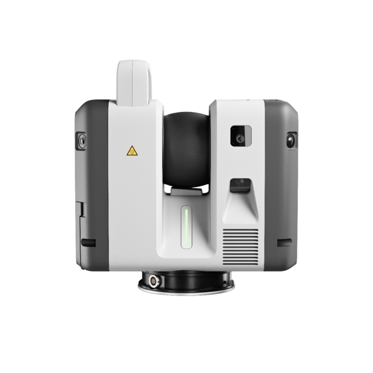
Balanced performance that adapts to your field conditions.
Range, speed, and capability combined for teams working in constantly changing environments. The RTC500 delivers the versatility required for surveying, construction, public safety, and infrastructure projects.
Caractéristiques
Features
Range : up to 130 m
Measurement Speed : up to 2 000 000 pts/s (2 MHz)
Full Dome Scan + HDR : ≈ 1 min 40 s (6 mm à 10 m)
Image Resolution : ranging from 3 mm à 10 m
3D Accuracy : 1.5 mm at 10 m · 3.8 mm at 50 m
Range Noise : 0.2 mm at 10 m · 0.4 mm at 50 m
Distance Accuracy : 1,2 mm + 10 ppm
Angular Accuracy : 10"
Field of View : 360° × 300°
Minimum Range : 0,5 m
Real-Time Registration : VIS (Visual Inertial System)
Self-Calibration : Yes
Protection Rating : IP55
Weight : 5.5 kg (without batteries)
More information
Twice the Speed in the Field Capture up to 2 million points per second, completing a full dome scan with HDR imaging in approximately 1 minute 40 seconds.
Accuracy You Can Count On Achieve 3D accuracy of 1.5 mm at 10 m and 3.8 mm at 50 m, with minimal range noise for reliable, high-quality data.
Connected from First Scan to Final Deliverable VIS and LiveLink connect field and office in real time, creating a seamless workflow from the jobsite to the cloud.
Need greater range or multi-scanner workflows? The RTC700 is built on the same platform, making it easy to upgrade without replacing your system.