The Leica TS20 Has Arrived: What Every Surveyor in Canada Needs to Know
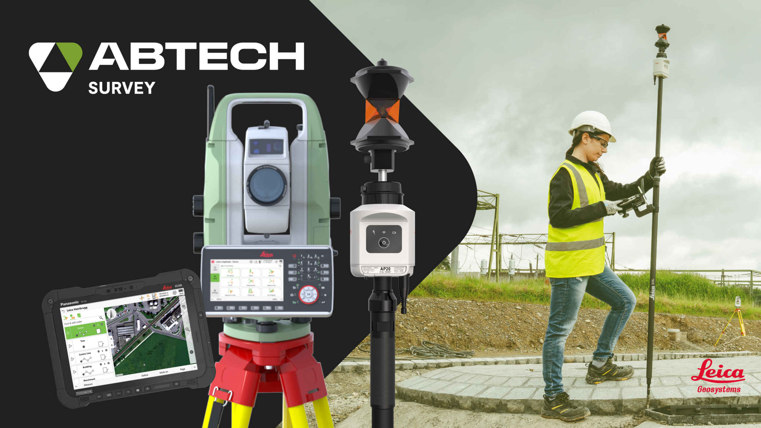
The most advanced robotic total station ever designed by Leica Geosystems has just arrived at ABTECH. Here’s why it deserves your attention.
After more than two centuries of innovation in measurement instruments, Leica Geosystems has reached a major milestone in the history of surveying. The Leica TS20 is not just an update to the TS16—it is a fully redesigned robotic total station, built from the ground up, from the circuit board to the housing. New distance measurement system, new automatic target recognition, new operating system, new connectivity—everything is new.
For surveyors in Canada, this instrument arrives at a strategic moment. Between major infrastructure projects, a shortage of skilled labor, and increasing productivity demands, surveying firms need tools that work faster, smarter, and with fewer errors. That is exactly what the TS20 promises.
Artificial Intelligence, built directly into the instrument
The TS20 is the first total station in the world to integrate an NPU (Neural Processing Unit)—a processor dedicated to artificial intelligence. Unlike cloud-based solutions that rely on an internet connection, the NPU processes data directly in the field, in real time. This is a major advantage for surveyors working in remote regions of Canada where cellular coverage is limited.
This onboard computing power drives three features that truly change the game in the field:
AI-Powered ATR AI-powered automatic target recognition (ATR) allows the TS20 to search, aim, and measure automatically, even in challenging weather conditions such as rain, fog, or mist. It also works with reflective tape, significantly expanding its range of use cases. |
AI-Detect One of the most costly sources of error on a job site? Measuring with the wrong prism type. AI-Detect automatically recognizes the target type and alerts the surveyor if it does not match the selection in the software. This single feature can save hours of rework. |
AI-Follow Coming soon via software update, AI-Follow will enable the TS20 to predict the trajectory of the AP20 AutoPole even when the line of sight is temporarily blocked—by a pedestrian, a vehicle, or site elements. Once the target reappears, it instantly locks back on. |
Built to withstand everything our climate can throw at it
The TS20 is the first robotic total station in the world to be certified IP66. This means it is completely dust-tight and protected against powerful water jets. For comparison, the TS16 offered IP55 protection, which covers splashes but not severe conditions.
For Canadian surveyors, this is a game changer. Whether you are on a road construction site during a summer storm, in the dust of a quarry in The Labrador Through, or on a mining project in James Bay where conditions are unpredictable, the TS20 keeps working. As Hans-Martin Zogg, Sales Director at Leica Geosystems, puts it: construction does not stop for rain, fog, or dust—and now your total station does not either.
Completely redesigned hardware
The direct-drive BLDC motors are quiet, maintenance-free, and deliver ultra-fast rotation with face changes in under 2 seconds. The new EDM (electronic distance measurement) system operates at high frequency—up to 25 Hz—for dynamic targets and long-range measurements.
The integrated camera jumps from 5 MP on the TS16 to 20 MP on the TS20, with fast, tile-free panoramas and live video for visual control. The multi-touch display offers the zoom and scrolling you expect from your phone, and the Linux operating system replaces Windows CE for faster startup and a much more responsive Captivate v10 interface.
More connected than ever
The TS20 features connectivity that puts it in a class of its own. Two integrated eSIMs—one for your data, one for IoT—enable real-time synchronization with GeoCloud Drive. Your office team can begin processing data while you are still in the field. Add to that Wi-Fi, Ethernet via LEMO connectors, and USB-C for fast drag-and-drop transfers.
In terms of security, the exclusive GeoCloud Protect feature allows you to locate your instrument remotely, lock it in case of theft, and review its movement history. For an investment of this scale, that peace of mind matters.
Compatible with your existing votre equipment
The TS20 integrates seamlessly into the Leica ecosystem: Captivate and Infinity software, cloud services, accessories, and especially the Leica AP20 AutoPole. The TS20 + AP20 combination represents the most productive robotic system on the market, with tilt compensation, automatic pole height, and target identification. We will cover this in more detail in an upcoming feature.
What this means for your practice
The TS20 is not just a better instrument—it is a new platform designed to evolve. Thanks to the NPU, new AI features will be added over time through software updates. Your investment today will gain value tomorrow.
Whether you work in cadastral surveying, construction, civil engineering, or structural monitoring, the TS20 adapts to your needs with a level of productivity, reliability, and intelligence that no other robotic total station currently offers.
READY TO DISCOVER THE TS20?Book a free demo. Product specialist or sales rep? Let’s talk : abtech.cc | 1-800-215-7177 |