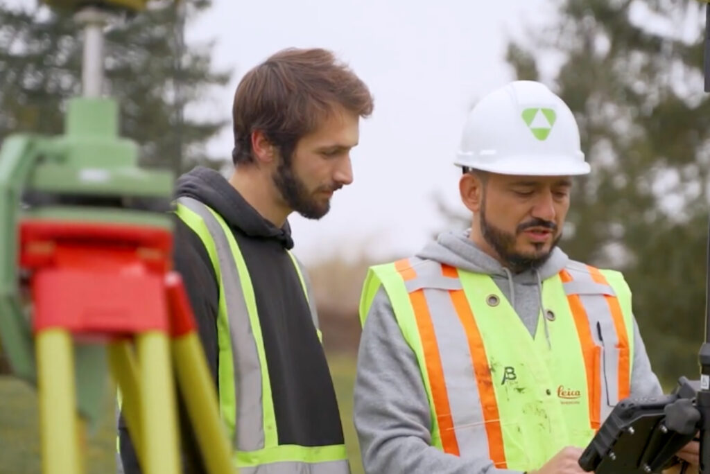
ABTECH supports professionals in surveying, civil engineering, and geomatics with high-precision solutions from Leica Geosystems.
Whether it’s for topographic surveys, layout, 3D modeling, or the monitoring of technical structures, our equipment and services ensure performance, reliability, and accuracy—both in the field and in the office.
Proven precision instruments (GNSS, total stations, multi-sensor scanners)
Smart, connected software, with Leica Captivate & Infinity
Local technical support, responsive to your field requirements
Our Areas
of Expertise
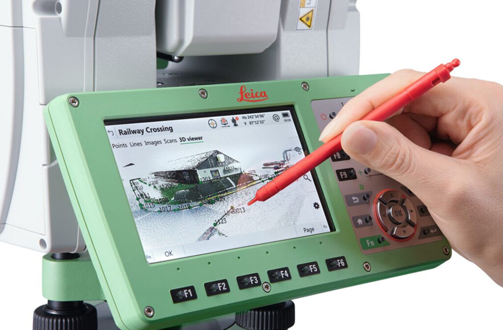
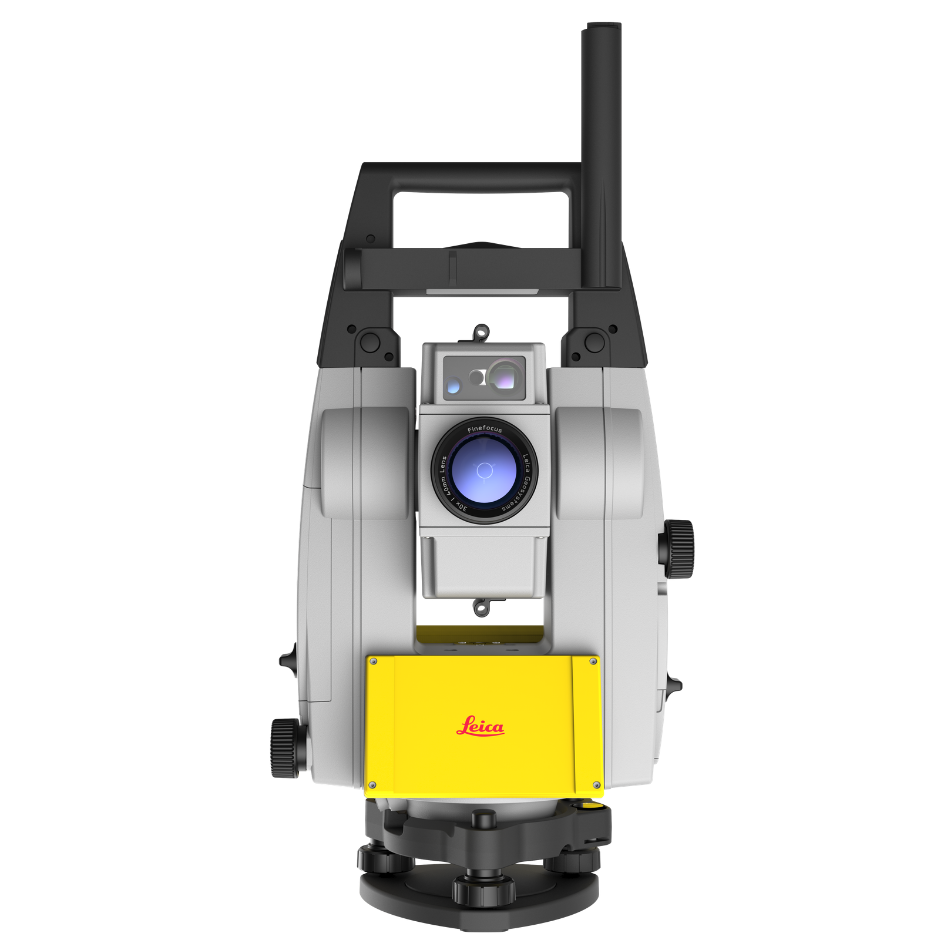
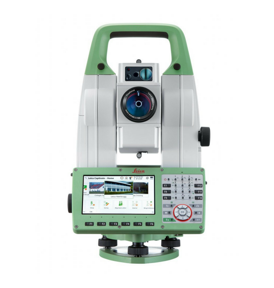
Precision Layout & Surveying
Whether you’re setting control points, conducting detailed surveys, or verifying construction tolerances, the TS13, TS16, and MS60 total stations deliver unmatched precision and field-ready ergonomics.
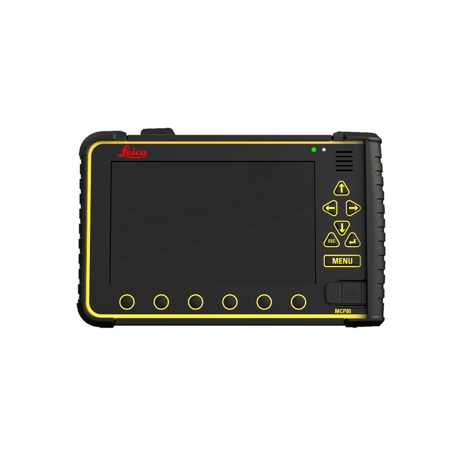
With Leica Captivate, you can interact with your 3D data directly in the field with smooth, intuitive navigation. Interfaces support IFC file formats and maximize productivity, even in challenging environments.
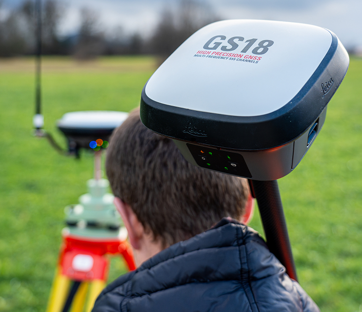
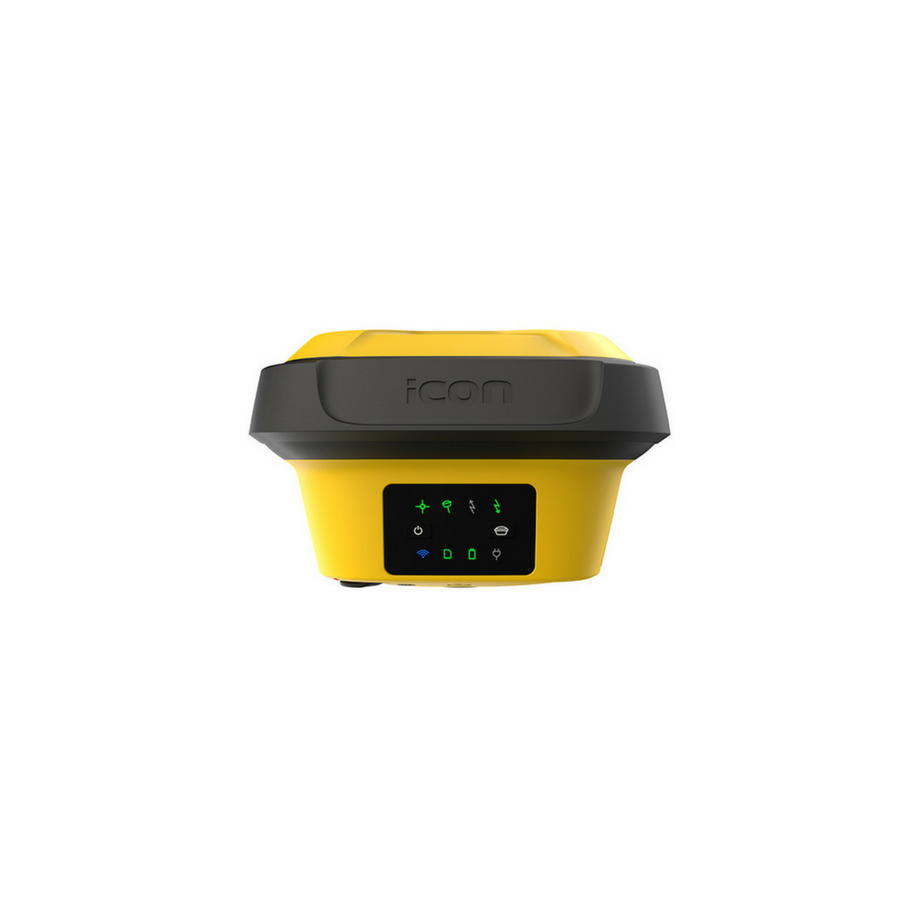
Fast, Intelligent GNSS Surveys
The GS18 T (with tilt compensation) and GS18 I (with image capture) GNSS receivers revolutionize fieldwork: no need for perfect alignment or vertical positioning—your surveys are quick, reliable, and complete, even in challenging conditions.
Fully synchronized with Captivate and Infinity, they streamline the workflow between field and office, reducing re-entry and minimizing processing errors.
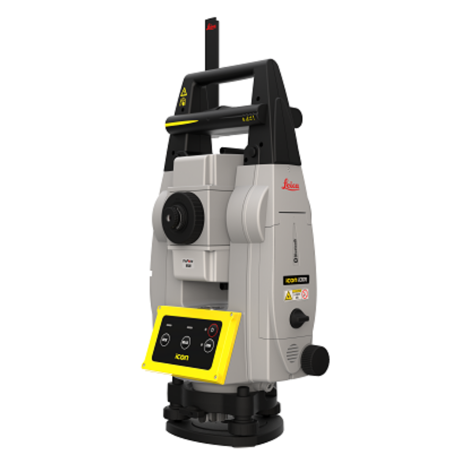
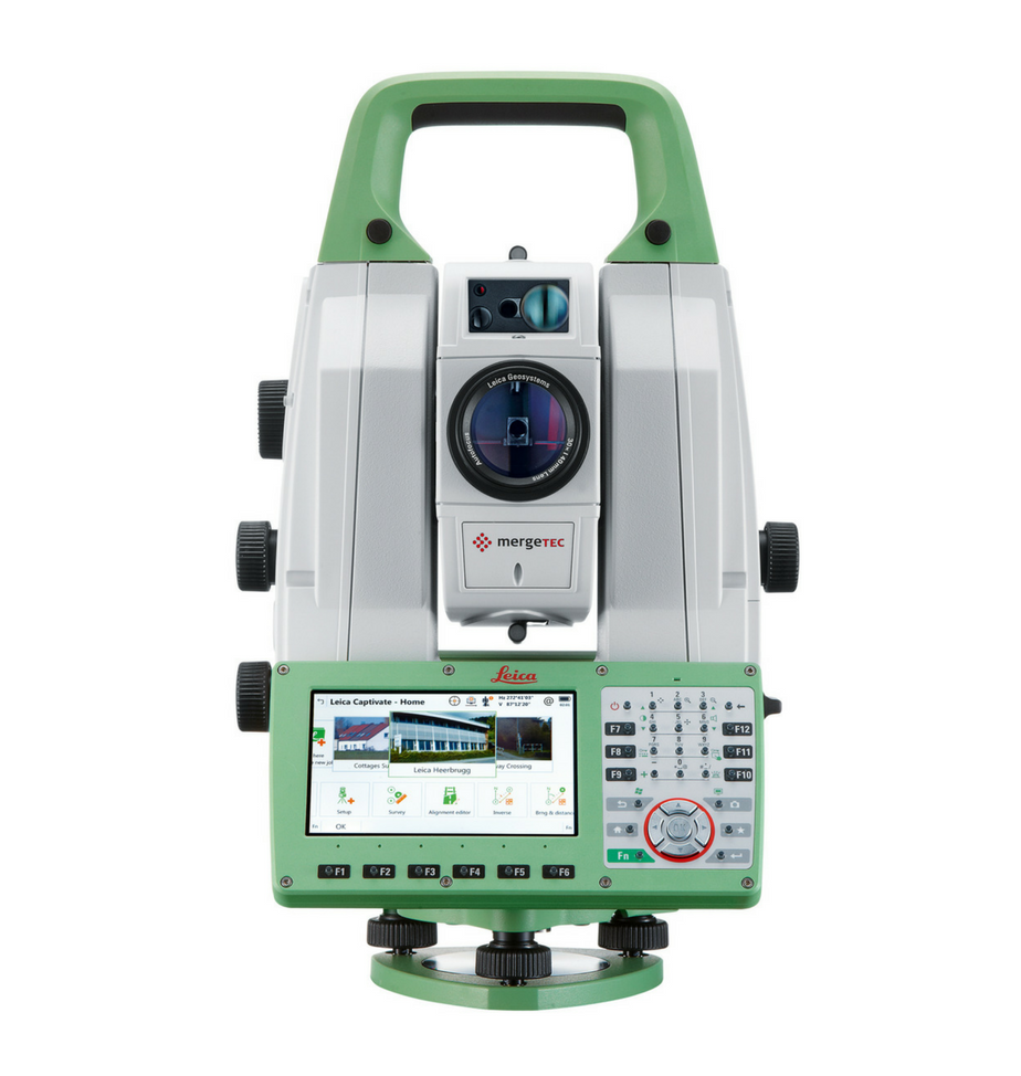
3D Modeling & Structural Monitoring
The MS60 MultiStation combines high-precision optical measurement with fast 3D scanning—perfect for capturing real-world site conditions, generating digital models, or performing real-time structural monitoring.
With Captivate and the Monitoring module, you ensure accurate tracking of displacements or deformations, safely and efficiently.
Contact us to survey faster, more precisely, and with greater ease.
Whether you want to modernize your methods
improve efficiency, or simply want to see a demo of our solutions: