Streamlining Construction Management: The Unified Approach of Leica Geosystems’ MC1 Software
The paramount importance of efficiency and precision in public works and civil engineering cannot be overstated. As equipment becomes more diverse and complex projects grow, ensuring interoperability across a machine fleet becomes critical.
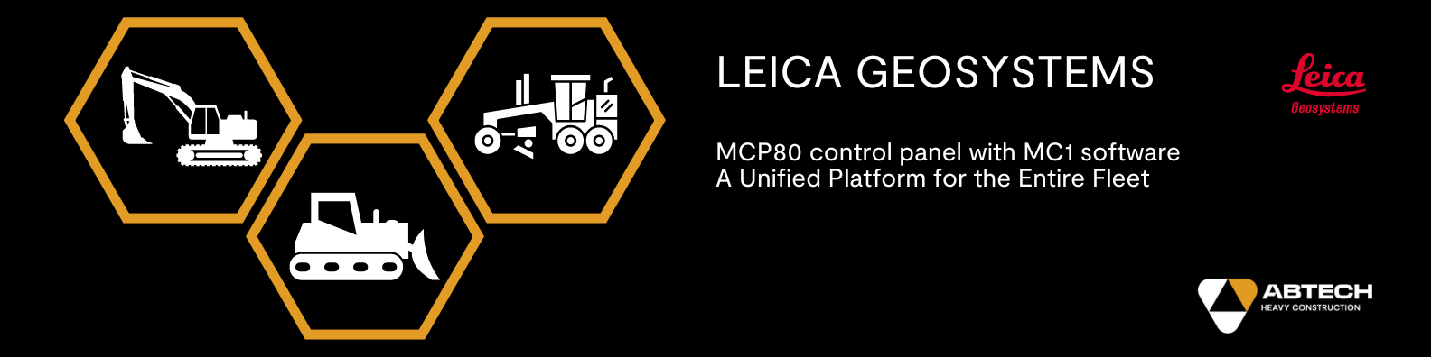
A Unified Platform for your Entire Fleet
Leica Geosystems has simplified construction equipment management by introducing its MC1 software.

This software provides a single, unified platform that changes how equipment is managed on-site. It makes the MCP80 display compatible with all machinery types in a fleet, such as excavators, bulldozers, and graders. The standout feature is the unified operating interface for all these machines, meaning operators only need to learn one system.
This approach greatly streamlines processes, leading to significant savings in time and reductions in training-related expenses.
Cost-Effective and Scalable Utilization to Enhance Construction Fleet Efficiency
The Leica system’s scalability is among its most significant advantages. It allows for using a single system across multiple machines (provided they are not operated simultaneously), offering substantial economic benefits.
Companies can invest in transferable starter sets and expand their deployment as the fleet grows. This scalability optimizes resource utilization and enhances the return on investment.
Seamless Data Backup and Transfer Between Machines
The docking station is essential in this ecosystem, safeguarding machine-specific data, such as calibration values and hydraulic parameters.
This ensures that the MCP80 display can be moved from one machine to another without losing critical settings, thereby maximizing the display’s usage across the fleet and ensuring operational consistency and efficiency.
The MC1 Software: The Backbone of Fleet Interoperability
At the core of fleet interoperability lies the MC1 software, which significantly reduces training time and boosts operator efficiency by offering a shared software platform.
Furthermore, its compatibility with Leica ConX, a web-based platform, enhances project management and operational efficiency in construction projects.
Leica Geosystems’ 3D guidance system emerges as the perfect solution for construction companies aiming to optimize their machinery usage while cutting costs. Its mix of flexibility, safety, durability, and cutting-edge technology positions it as a strategic investment for companies looking to differentiate themselves in the competitive construction industry landscape.
Highlights of the Leica Geosystems 3D Guidance System:
- Enhanced flexibility and transferability.
- Economical scalability for evolving fleet needs.
- Universal compatibility across machinery.
- Ensured safety and durability of operations.
- Cutting-edge technology driving operational efficiency.
Optimize your construction sites and maximize profitability with the Leica Geosystems 3D Guidance System: the comprehensive solution for today’s construction challenges.